Photographs
Field photographs taken from public locations, 2001-2008. Canon AE-1 (35mm film) and since 2004 a Fujifilm FinePix digital camera. All fieldwork from public roads, the Rollins Savanna trail (open daily 6:30 a.m. to sunset), or the station platform. I don't go onto railroad property.
Historical Reference
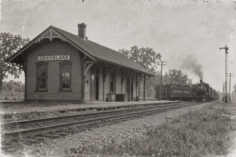
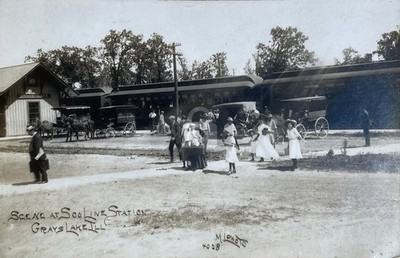
Washington Street and the Platform
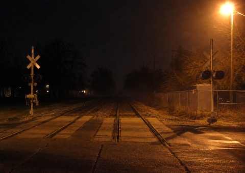
The platform is on the west side of the tracks. If you're standing at the north end looking up the line toward Libertyville, the Rollins Savanna preserve is on your left. In the evening the preserve is dark; you can't see into it from the platform. What you can see is the track and, on clear nights, the signal lights a few hundred yards ahead.
I've been back to this platform a number of times since October 2006. Nothing else has happened that I can clearly attribute to the same source. That's either because the 2006 experience was a one-time coincidence, or because I've been visiting at the wrong times.
For what it's worth, the fall 2008 NCS timetable shows inbound trains through Washington Street at roughly [TIME], [TIME], and [TIME] in the four-to-five o'clock window. I pulled this from the schedule I picked up at Libertyville station; the times are what I wrote down and may have a minute or two of error. The relevant window seems to be the run arriving at or just before four-thirty.
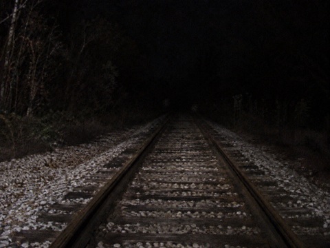
Rollins Savanna
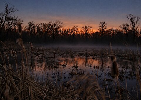
The Rollins Savanna restoration was completed in 2004. The trail opens a section that runs roughly parallel to the rail corridor for about a quarter mile. This is the closest public vantage point to the section of track I've been studying, aside from the platform itself.
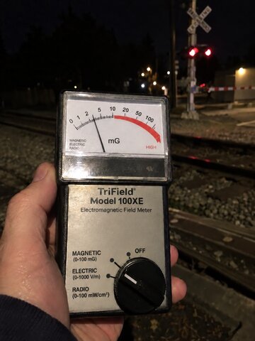
I've taken EMF readings from the trail. The readings are elevated in the area near the tracks compared to the background elsewhere in the preserve. I've noted in the Corrections log that I initially overstated what this means -- a gaussmeter and a surveying compass are measuring different things, and I was too quick to call them confirmation of each other. What I can say is that the readings were consistent over several sessions, and the elevated zone corresponds roughly to where Foote recorded his compass anomaly.
EMF Meter
One Photograph I've Kept
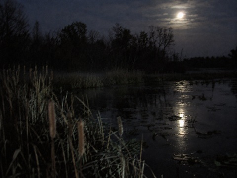
Rollins Savanna, from the trail near the Washington Street entrance. FinePix digital, 2005 or 2006, nighttime, available light only. The preserve closes at sunset. I should not have been there.
|
I've kept this photograph because I can't resolve what's in it. At the water's edge, near the treeline, there is something. I've looked for the obvious explanations: a heron standing still, mist from the water, a camera artifact from the long exposure. I haven't found one that accounts for the shape. About half the people I've shown it to say they see a standing figure. The other half see camera noise and shadows. I don't know which interpretation is correct. What I do know: this section of the preserve runs parallel to the rail corridor, roughly in the area of the Connell parcel. I took this photograph during the same period I was making EMF measurements from the trail. |
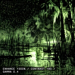
Same photograph, center crop, processed at maximum contrast. I have not added detail; this is what was already in the image.
|
At maximum contrast the form near the treeline remains genuinely ambiguous. I'm not pointing at it and making a claim. I'm including it because I've described the photograph in the notes and people have asked to see what I'm looking at. |
Platform Recording, 2007
Recorded on the Washington Street platform, late October 2007, early evening. The wind is audible and there's a grade crossing bell from the road. At approximately 14 seconds there is something I don't have an explanation for. I've listened to this recording many times. I'm not going to tell you what I think it is; I'd rather you listen without that in your head first.
Researcher